Booking

HIKING TRAILS

Arriving at your destination, enjoying the journey, feeling gratified

  • nature

THE ROUTES WE RECOMMEND

Backpack on and off we go!

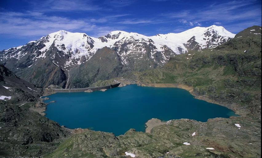
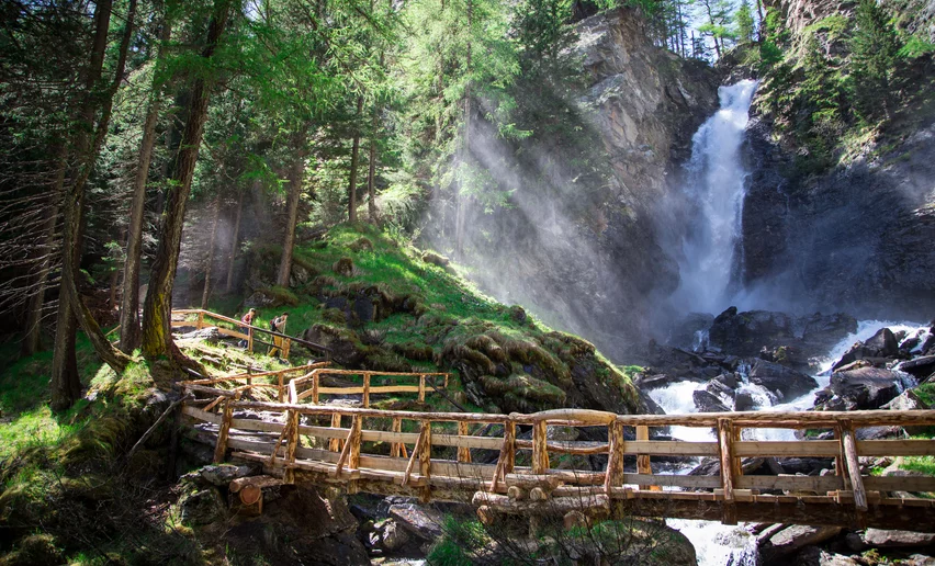
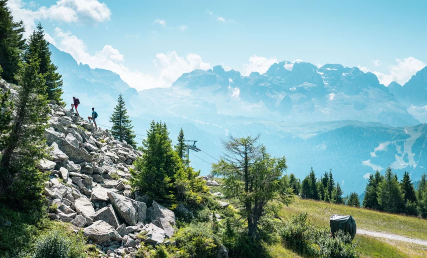
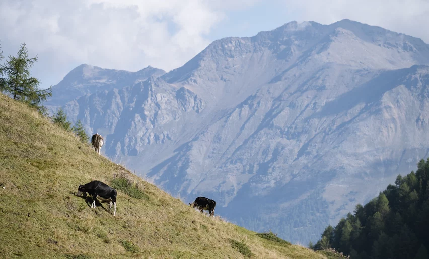
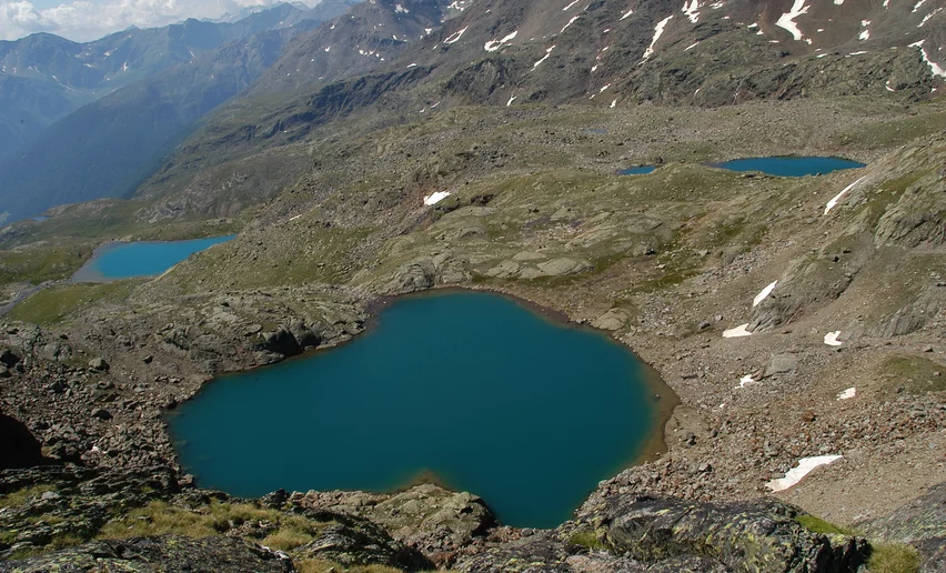
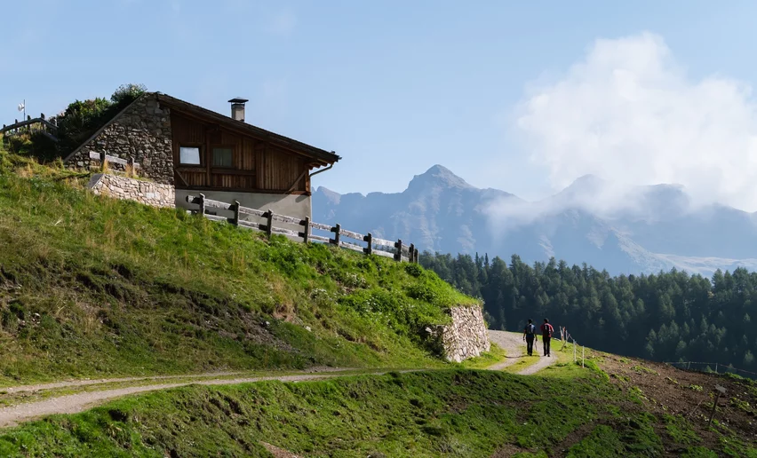
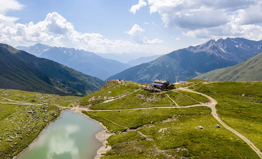
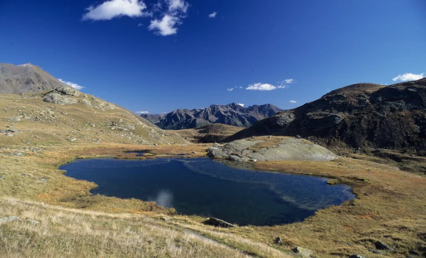
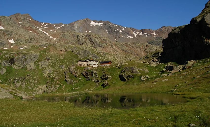
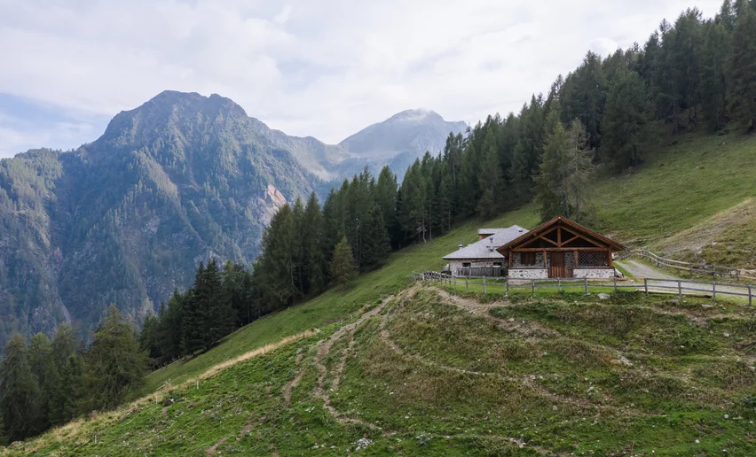
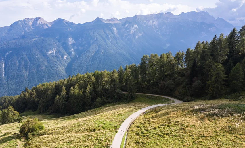
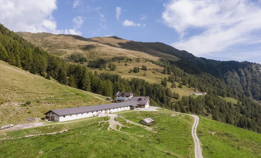
Here are some of the most scenic hiking trails in Val di Sole, with its peaks, woods and paths, discovering mountain refuges, lakes and mountain pastures. One thing is sure: the views will take your breath away. Enjoy them and savour the good feeling you get from walking in the mountains. 

If you have never been on an excursion in the mountains, remember to

  • get ready for your trip by checking the weather forecast, the route you will follow and the times for the cable cars or chairlifts, if you will be using them.
    If you have any doubts, contact the Alpine guides or our information offices;
  • follow the directions you will find along the route, do not leave the path, which is usually marked with red and white SAT signs and brushstrokes of red and white paint on stones and trees;
  • wear suitable clothing: hiking boots, long trousers, waterproof jacket, cap, hat and gloves, and take a backpack, sun cream and sunglasses;
  • in your backpack, make sure you have water and dried fruit or chocolate to munch when you feel the need;
  • do not hurry, look around you to absorb the good feeling that nature gives you and do not give up if you feel tired; the more effort it takes, the greater the satisfaction.  
Easy
Pellizzano, Peio

Malga Campo (alpin dairy) and Celentino Lake

Distance 4.9 km
Activity time 1:55 h.
Height difference 269 m
Easy
Commezzadura

Sentiero dei pastori

Distance 8.5 km
Activity time 3:45 h.
Height difference 279 m
Moderate
Rabbi

Rifugio Saènt «Silvio Dorigoni» alpine hut

Distance 10.9 km
Activity time 8:00 h.
Height difference 1050 m
Moderate
Rabbi

Saént Waterfall Tour (Giro delle Cascate del Saént)

Distance 6.9 km
Activity time 3:00 h.
Height difference 377 m
Moderate
Dimaro Folgarida, Commezzadura

Malghet Aut - Lago delle Malghette

Distance 9.9 km
Activity time 4:05 h.
Height difference 311 m
Moderate
Vermiglio

Rifugio Mandron «Città di Trento» alpine hut

Distance 6.2 km
Activity time 3:06 h.
Height difference 538 m
Moderate
Peio

Malga Val Comasine e l'antico bosco di larici

Distance 9.3 km
Activity time 4:35 h.
Height difference 701 m
Easy
Pellizzano

Pellizzano - Lago dei Caprioli

Distance 6.6 km
Activity time 2:55 h.
Height difference 384 m
Moderate
Rabbi

Rifugio Stella Alpina at Lago Corvo alpine hut

Distance 12.9 km
Activity time 6:20 h.
Height difference 943 m
Moderate
Rabbi

Malga Polinar (alpin dairy)

Distance 6.8 km
Activity time 4:00 h.
Height difference 682 m
Easy
Caldes, Terzolas

Sentiero Val di Sole

Distance 16.9 km
Activity time 5:20 h.
Height difference 137 m
Easy
Mezzana

Laghetto di Ortisé (lake)

Distance 9 km
Activity time 3:35 h.
Height difference 636 m
Caution in the mountains